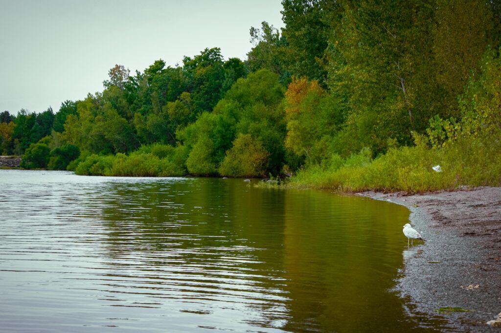

Temiskaming Shores is a small city in the Timiskaming District of Northeastern Ontario, right on the western shore of Lake Temiskaming near the Quebec border. It was created in 2004 by amalgamating New Liskeard, Haileybury, and the Township of Dymond. Most people still call the whole place Temiskaming (or Timiskaming — both spellings show up, and locals use them interchangeably).
Population sits around 9,600 to just over 10,000 depending on the year. It is Ontario’s second-smallest city by population, after Dryden, but it punches above its weight as the main service hub for a wider region of about 30,000–32,000 people on both sides of the border.
If you are planning a 2026 trip through Northern Ontario or just trying to figure out where this place actually is, here is the clear, practical guide. It is one of those Ontario hidden gems that rewards people who look past the big-name destinations.
Exact Location & Geography Temiskaming Shores
Temiskaming Shores sits at roughly 47°30′N, 79°41′W. It lies along the southern edge of the Little Clay Belt on the shores of Lake Temiskaming (also spelled Lake Timiskaming or Lac Témiscamingue).
Lake Temiskaming is a long, deep rift lake — about 110 km long and over 200 metres deep in places — that forms part of the upper Ottawa River system. The Ontario-Quebec border runs right down the middle of the lake. The nearest Quebec town is Notre-Dame-du-Nord, only a short drive across.
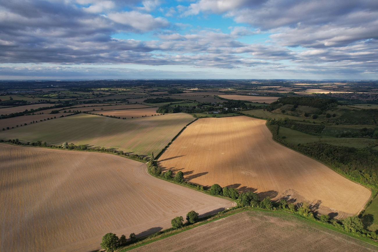
What surprises most first-time visitors is the landscape. Drive north on Highway 11 and the classic rocky Canadian Shield suddenly gives way to flat, fertile farmland. That is the Little Clay Belt — rich glacial lake sediments that support real agriculture (dairy, beef, even bison) in the middle of Northern Ontario. The city sits right at the edge of this transition.
How Far Is Temiskaming Shores From Major Cities?
These are realistic 2026 driving distances and times via the main highways (mostly Highway 11):
- Toronto — approximately 500–510 km / 5.5 to 6.5 hours
- North Bay — approximately 150–160 km / about 2 hours
- Greater Sudbury — approximately 220 km / about 3 hours
- Timmins — approximately 210 km / about 2.5 hours
- Kirkland Lake — under an hour north
- Rouyn-Noranda, Quebec — roughly 130–140 km / 1.5 hours
Highway 11 is the main north-south artery. Most people coming from southern Ontario travel through North Bay and keep going north. From the west or northwest you come in via Highway 11 or connecting routes from Sudbury or Timmins. If you are already mapping a longer northern route, the Sudbury to Thunder Bay drive gives useful context for the same corridor.
The Three Communities That Make Up Temiskaming Shores
Even though it is one city, the old town identities still matter:

- New Liskeard is the commercial and agricultural heart. You will find the main shopping, the waterfront boardwalk, and the strongest farming vibe.
- Haileybury is the district seat. It has more heritage character, the city hall, the hospital area, and some of the best lake views. Devil’s Rock is just south of here.
- Dymond sits more along the highway and industrial side.
North Cobalt is also part of the city, and the nearby town of Cobalt (famous for its silver mining history) is only a short drive away. Locals still sometimes refer to the whole cluster as the “Tri-Towns.”
What Makes Temiskaming Shores Different
This is not a polished resort town and it is not a remote fly-in wilderness outpost either. It sits in an interesting middle ground.
You get a genuine mix of English, French, and Indigenous cultures because of the border location. Services are solid for a place this size — grocery stores, a hospital that serves a large catchment, restaurants, and basic amenities — so you do not feel completely cut off.
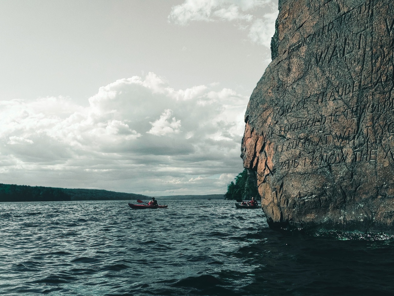
The big natural draws are Lake Temiskaming itself (excellent for boating and fishing without the crowds of the Great Lakes) and Devil’s Rock, a dramatic 300-foot cliff face that rises straight out of the lake just south of Haileybury. The views from the top are some of the best in the region. The lake also offers quiet shoreline spots that feel closer in spirit to smaller northern parks than to the busy southern cottage lakes.
The Little Clay Belt farmland is the other standout. It feels almost out of place against the surrounding Shield rock and gives the area a unique agricultural character you will not find in most of Northern Ontario.
Getting There in 2026
Driving is by far the most practical way for most people. Ontario Northland buses connect through North Bay. The nearest airport with scheduled flights is North Bay (about two hours away). There is a regional airport at Earlton, but it has limited commercial service.
If you are already travelling Highway 11 between North Bay and Timmins or Kirkland Lake, Temiskaming Shores makes a natural and worthwhile stop. For more on what the larger regional centre offers, see what to see in Sudbury.
Is It Worth Visiting?
Yes — if you like real Northern Ontario rather than brochure versions of it.
Come for a quiet lake day, a hike up Devil’s Rock, good local food, or simply as a pleasant overnight on a longer northern road trip. It works well for couples, families who want space, and anyone who prefers fewer people and more authentic small-city northern character. Similar low-key northern stops such as Pickerel, Ontario share that same uncrowded feel.
It is not a destination with nonstop attractions or nightlife. Think of it as a solid, friendly base with a beautiful lake, interesting geography, and enough services to be comfortable. That combination is harder to find than you might expect.
FAQ
Is Temiskaming the same as Timiskaming?
Yes. Both spellings are used. The district is officially Timiskaming, the city is Temiskaming Shores, and the lake appears both ways. Locals understand either.
Is Temiskaming Shores in Ontario or Quebec?
Ontario. The lake straddles the border, but the city is firmly on the Ontario side.
How long does it take to drive from Toronto to Temiskaming Shores?
Plan on 5.5 to 6.5 hours depending on traffic, weather, and stops. Highway 11 is the standard route.
What is the Little Clay Belt?
A stretch of flat, fertile farmland created by ancient glacial lake sediments. It sits in the middle of the Canadian Shield and supports real agriculture around New Liskeard and northward.
Are there things to do near Temiskaming Shores?
Yes. Devil’s Rock hiking, lake activities, the waterfront boardwalk, nearby Cobalt’s mining history, and the wider Lake Temiskaming Tour that loops into Quebec are the main draws. For broader ideas across the province, the best beaches in Ontario guide includes quieter northern options as well.
Temiskaming Shores is one of those places that rewards people who take the time to look past the name on the map. Once you understand where it sits — on a deep border lake, at the edge of unexpected farmland, a couple of hours north of North Bay — it starts to make a lot more sense as a stop or a short getaway.
If you are mapping a 2026 northern Ontario trip, it is worth putting on the list.